How Roadkill Data Can Save Wildlife: The Power of Wildlife-Vehicle Conflict Research
Each year, millions of animals are killed on roads, and countless drivers experience dangerous—and sometimes deadly—collisions with wildlife.
Virginia has one of the highest deer-vehicle collisions reported rates annually. These collisions cost the state and its citizens a lot of money each year. Virginia is consistently ranked among the top 10 states with the highest number of deer-vehicle collisions.
But what if the very data from these tragic encounters could help prevent future ones?
That’s exactly what wildlife-vehicle conflict data is doing. By studying when, where, and how animals collide with vehicles, researchers and planners are finding smarter, more effective ways to protect both wildlife and drivers. One of the most promising solutions? Wildlife crossings.
Using Roadkill Reports to Find Danger Zones
Every collision between a car and an animal tells a story. When mapped out, this data reveals “hotspots” where wildlife frequently attempts to cross. Using GPS and GIS technology, researchers can visualize patterns over time:
- Where are animals getting hit the most?
- Are there seasonal spikes during migration or mating seasons?
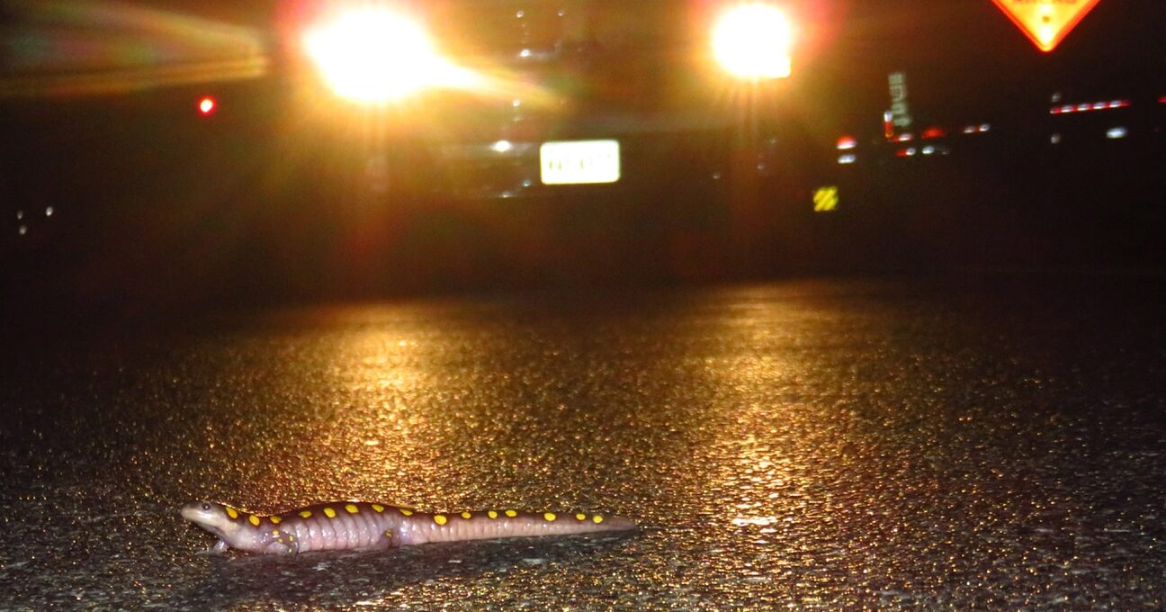
- Which species are most at risk?
By identifying these high-risk areas, planners can prioritize where to build wildlife crossings—putting them where they’re needed most.
One Size Doesn’t Fit All
Not all animals cross roads the same way. A moose needs a tall, wide bridge with forested cover. A frog? A small tunnel near a wetland will do. Data helps tailor crossings to the local wildlife. For example:
- Large mammals may need green overpasses that mimic natural terrain.
- Amphibians and reptiles often prefer low, moist culverts.
- Birds may avoid certain structures altogether, requiring different considerations.
By knowing which species are involved in collisions, engineers and ecologists can design the right structure for the job.
It’s About More Than Saving Animals
While the ecological benefits are clear, data has big implications for people too:
- Safety: Reducing collisions means fewer injuries and deaths on the road.
- Cost savings: Wildlife crashes cost the U.S. over $8 billion a year in damages. Crossings save money in the long run.
- Policy support: With hard data, planners can make a strong case for state and federal funding.
Connecting the Dots—And the Landscape
Wildlife crossings don’t just prevent roadkill—they reconnect ecosystems. As human development continues to carve up natural landscapes, these structures help maintain the corridors animals need to thrive. Wlidlife-vehicle collision data ensures we’re putting those connections in the right places.
Data from these collisions—while tragic—offers a path toward a better, safer future for people and animals alike. With the help of modern mapping tools and ecological insight, we’re building a world where roads don’t have to mean a dead end for wildlife.
Learn how Wild Virginia is exploring wildlife rehabilitation data to improve the identification of wildlife-vehicle conflict hotspots. This webinar features insights from wildlife centers that contributed data and Code for Charlottesville, which helped produce our draft map of Virginia highlighting high-risk areas for wildlife-vehicle collisions. By incorporating data beyond traditional police reports, this project provides a more comprehensive and accurate picture of where mitigation efforts, such as wildlife corridors and crossings, are most needed. Learn how this collaborative, data-driven approach can enhance conservation planning and policy efforts to reduce collisions and protect both wildlife and drivers.
*Roadkill data is incorporated via VDOT and their Carcass Removal App, and we are testing the use of wildlife rehab data, which is different from roadkill. We ultimately want to combine rehab, carcass, and police report data to get the most accurate view of wildlife-vehicle conflict in VA.
Featured photo: Piedmont Discovery Center